Vector and raster maps with GL styles
Filter
Filter styles and data by name or identifier
Styles


Data

WK depth area + WK map polygon + WK poi static + Waterway network 31/08/21 + OSM data linestring centroid + OSM data polygon centroid + OSM data polygon + OpenMapTiles + OSM data linestring + OSM data point
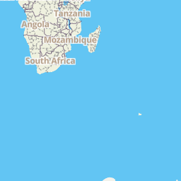
identifier: europe-vector
type: vector data | ext: mbtiles
Not speed limit waterski allowed + Not speed limit no waterski + WK depth area + Shallows + No Motorized Boats + Production Areas + Restricted areas + Static Items + Waterway network 31/08/21 + Precautionary Areas + Separation Lines + Separation Lanes
identifier: europe-vector-previous-year
type: vector data | ext: mbtiles